Along the Greene River Trail
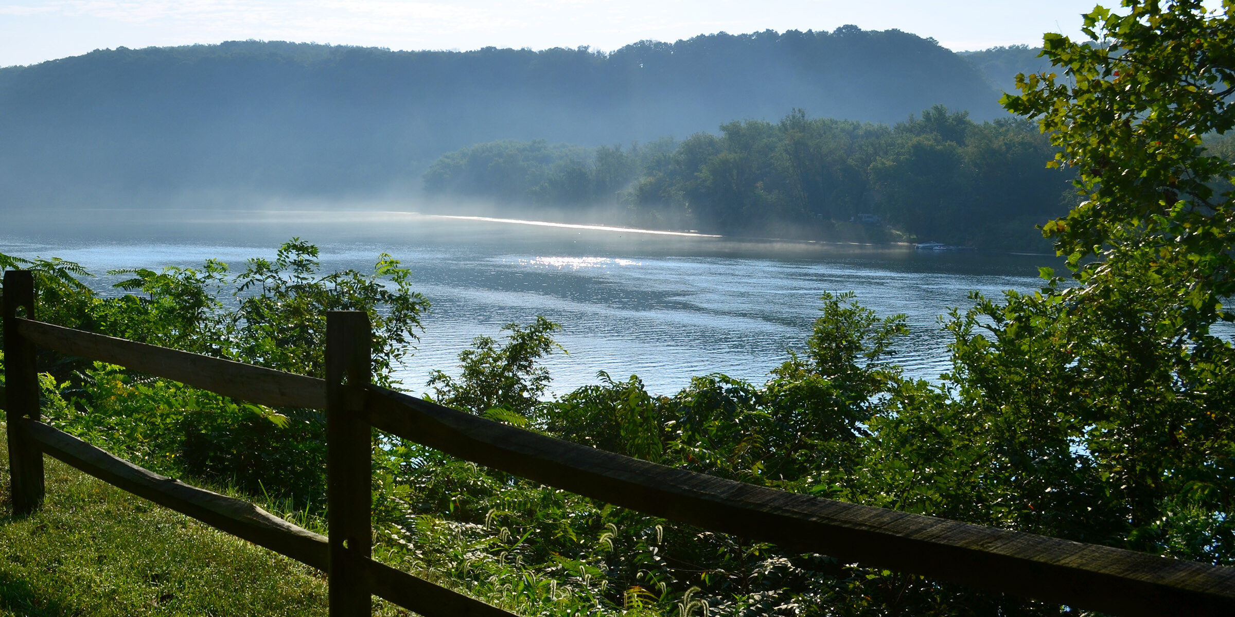
The Mon River
River Formation
Prior to the glaciers (more than 780,000 years ago), the ancestral Monongahela River flowed from present day north-central West Virginia across Pennsylvania and northwest Ohio. Extensive ice sheets dammed the old north flowing river and created a vast lake, Lake Monongahela. The lake stretched from north of Beaver, Pennsylvania for about 200 miles to south of Weston, West Virginia while reaching a depth over 200 feet in some areas. The river lake flowed southwestward and contained numerous narrow bays. The drainage action from this lake helped the formation of the upper Ohio River Valley.
River Facts
- The river is 130 miles long and has an average depth of 20 feet.
- The Native Americans who lived in this area called the river “Menaonkihela” meaning “where banks cave in or erode.”
- The river is a northward flowing river located in West Virginia and Pennsylvania where it meets with the Allegheny River to form the Ohio River at “The Point” in Pittsburgh, PA.
- The source of the river is the confluence of two rivers in Fairmont, WV. The first fork is the Tygart Valley River and the second fork is the West Fork River.
- Two major tributaries are the Cheat River and the Youghiogheny River.
- The most transported material on the river has been bituminous coal.
Locks and Dams
In 1782, the Pennsylvania General Assembly declared the Monongahela River a public highway, which allowed no one to prevent the use of the river. However, the river was not navigable in all seasons.
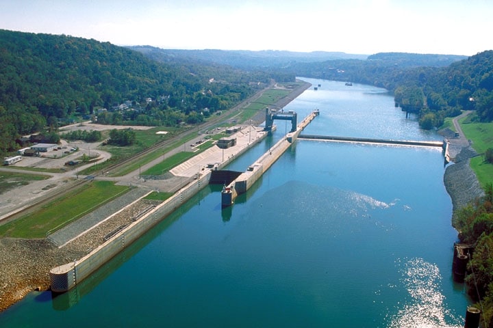
In 1817, the General Assembly authorized the Monongahela Navigation Company to build 16 dams with bypass locks between Pittsburgh, Pennsylvania and what would become West Virginia. This would help overcome the change in elevation of 147 feet and allow the river to become more navigable the entire length.
Today, only two locks and dams remain in Greene County and are operated by the Pittsburgh District of the U.S. Army Corps of Engineers. They are the Grays Landing Lock & Dam and the Point Marion Lock & Dam.
Water Trail Map
View Upper Monongahela River Water Trail map produced by the Upper Mon River Association.
The purpose of the Upper Monongahela River Association (UMRA) is to promote general development of the area encompassed by the drainage basin for the Upper Monongahela River, primarily in West Virginia. UMRA promotes opportunities for river recreation to people of all ages.
About the Greene River Trail Signage Project
Greene County Tourist Promotion Agency completed this project in partnership with the Rivers of Steel Heritage Area. Funding was provided in part by a grant from the Pennsylvania Department of Conservation and Natural Resources, Bureau of Recreation and Conservation, administered by Rivers of Steel.
Special thanks to: Brice & Linda Rush, Danielle Nyland, Flenniken Public Library, Greene County Historical Society, Greene Connections, Advanced Masonry, Greene County Commissioners, Greene County Conservation District, and Greene County Department of Recreation.


